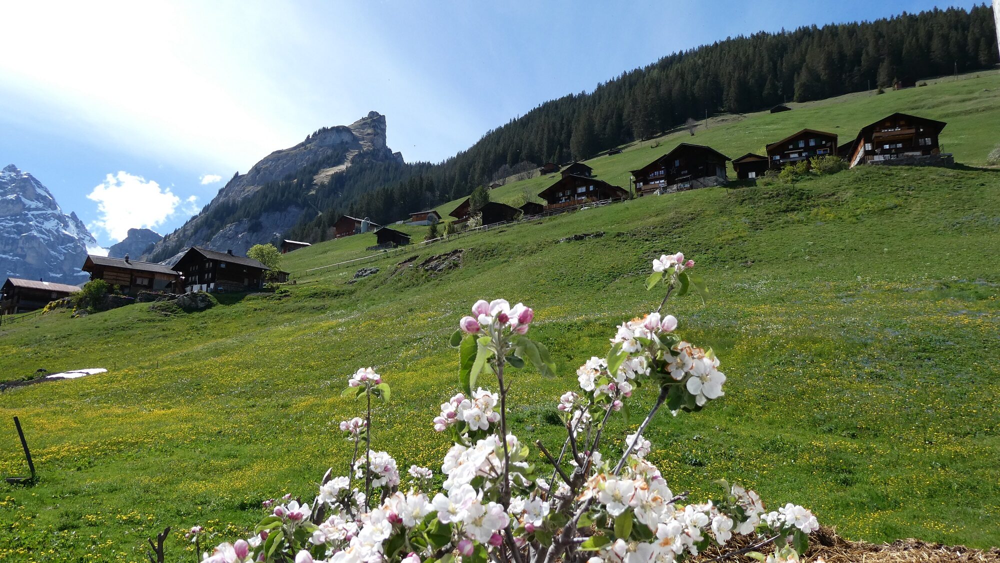
Take a seat on a bench and look towards the other side of the valley. Depending on the season you can see imposing streams or roaring avalanches thundering down into the valley. When there is a lot of new snow, there may also be so-called dust avalanches. The pressure waves that precede them can cause severe destruction. Sometimes ice breaks off the glaciers, or there may be landslides or falling rocks. The people here are aware of the unpredictable forces of nature, and have learnt to live with them. Nonetheless, sometimes nature hits badly, and there are tragic accidents in the mountains. The Jungfrau, the landmark of the region, is the summit to the left of the glacier you can see above the tree line. On the right, you can see the Ebnefluh, Mittaghorn and Grosshorn. The Swiss Alpine Club has built huts in strategically suitable places in the high alpine mountains from which alpinists set off to climb these high summits. In December 2001, everything you can see here was declared a Unesco World Heritage area. Gimmelwald has an ancient history.
The village is a so-called Walser settlement. The Walsers belonged to an Alemmanic ethnic group, who settled in the area behind these mountains about 1000 years ago. is the alpine valley from which they came is called Valais, or Wallis in German. This is where the name Walser originates. In the 13th to 14th century, individual groups of Walsers started to leave their home. They migrated in all directions, also to the Lauterbrunnen Valley, where they established the terraced villages Gimmelwald and Mürren and other small villages that no longer exist. The growing population pressure and the search for new farmland were the main reasons for the migration of the Walsers in the Middle Ages. The Walsers developed techniques that made farming possible in the high regions of the mountains. But how did the migrants pass the high snow-covered mountains? Over the course of the centuries, the climate kept changing, so in warmer stretches the glaciers decreased significantly and the tree line was much higher than today. The Walsers found their way here across the Wetterlücke between the Mittaghorn and the Sattelhorn mountains. The Wetterlücke is at a height of about 10400 feet and now glaciated. It is proven that the Walsers took their cattle herds with them. In the same way, something very special came to Lauterbrunnen: church bells. They were taken across the mountains in a specially manufactured transport frame. You can inspect the larger one of the two so-called Lötschen bells in front of the church in Lauterbrunnen. The other one, which shows the date 1483, is on display in the small valley museum in Lauterbrunnen, which is definitely worth a visit. For a long time, the people of Gimmelwald and Mürren felt much more connected to their old home than to the people in Lauterbrunnen. The dialect, the typical style of houses and some family names still remind us of their roots in the Valais. Now, you have two options to continue your tour. If you choose the short option, then please follow the paved road round the bend to the upper village. Or do you want to see the old water-powered sawmill that is is still in use? Then take the paved road down the hill to the left bend and then the unpaved path straight on into the valley. On the way you will pass an imposing waterfall that has eaten itself into the rocks; and we will tell you old legends from this region. Calculate that this extended tour will give you about ninety minutes more pleasure! Do note that in winter and spring, this path is closed due to the risk of avalanches! Please take a look at the corresponding notice boards on the way.